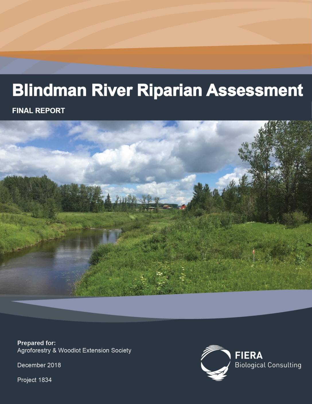
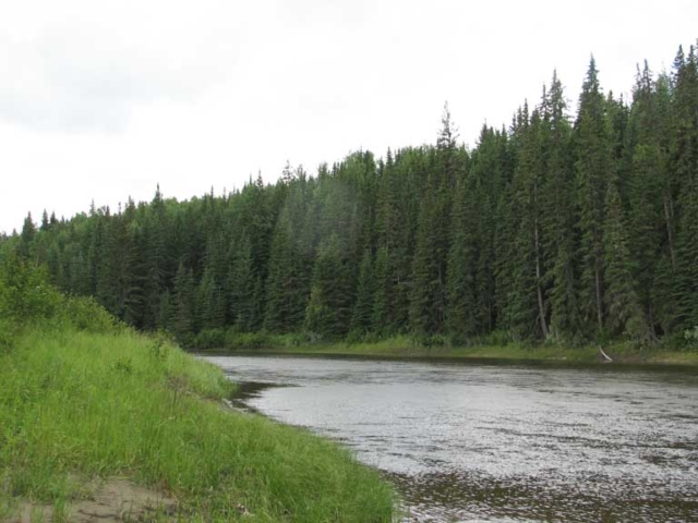
This report provides the results of a GIS-based riparian assessment conducted along a 225km stretch of the Blindman River. It was developed as part of the Blindman River Restoration Project, and will help AWES and project partners prioritize where to focus their efforts at initiating restoration activities and changes in management that mitigate drought, flooding, and water quality concerns in the Blindman River watershed.

- Home
- About
- Services
- Get Involved
- Resources
- Projects
- Women in STEM & Leadership
- Wildflowers & Pollinators Project
- Wildlife Corridors Project
- Shelterbelt & Ecobuffer Project
- Riparian Skills Development Workshops
- Train-the-Trainer Workshops
- 2 Billion Trees
- Blindman River Restoration Project
- Riparian Forest Enhancement and Management Training
- Riparian Management Resources Webpage
- AWES Blog
- Contact
