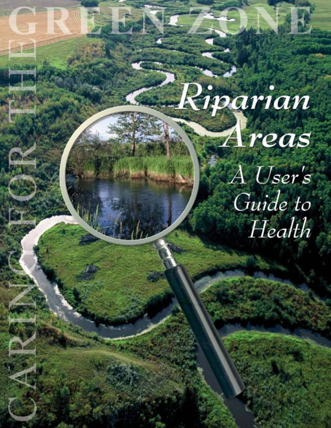
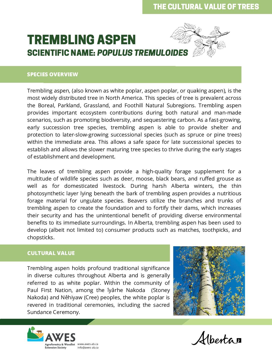
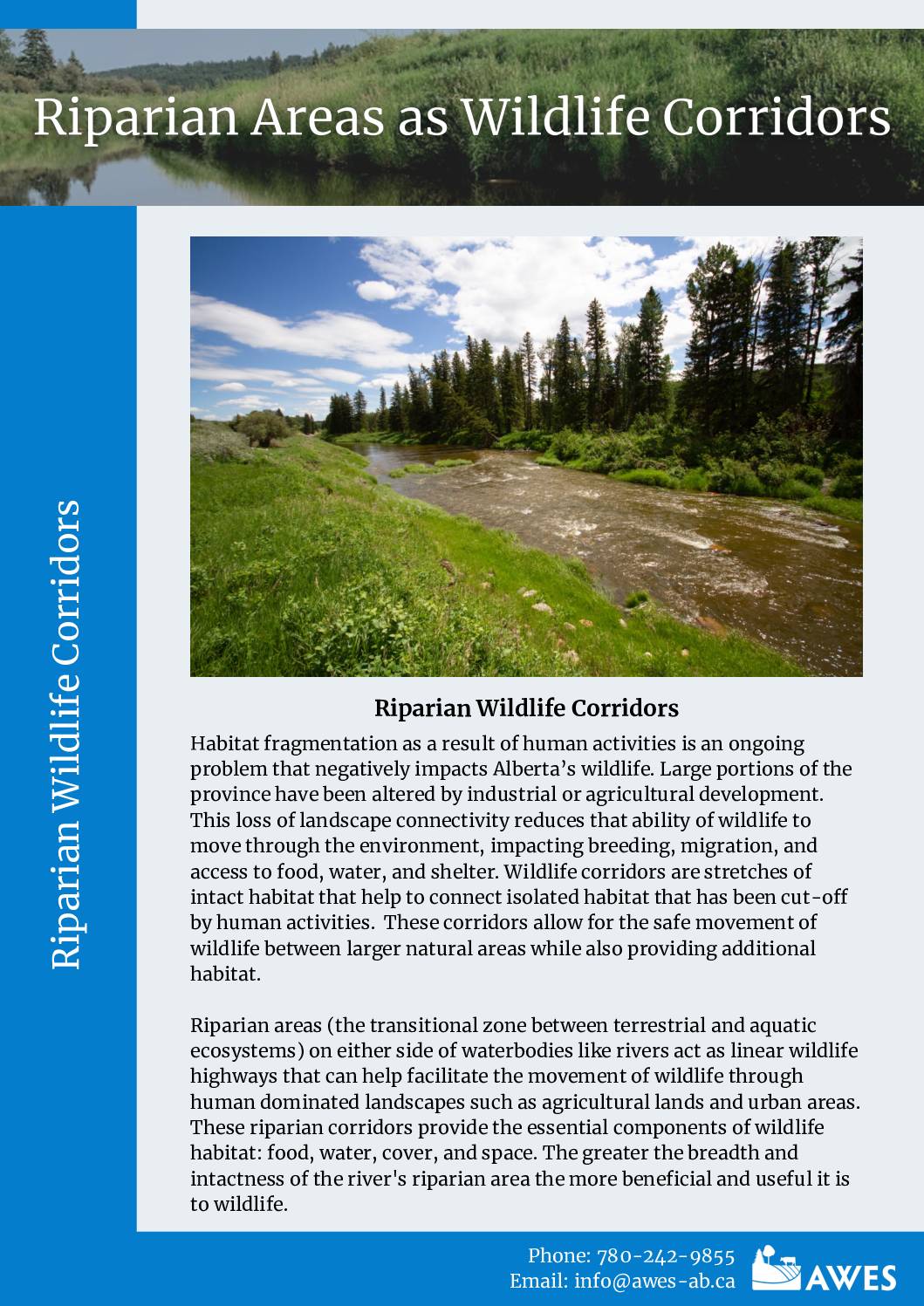
Riparian Management Course Resources
The Riparian Management Course is an interactive course facilitated by the Agroforestry and Woodlot Extension Society and Cows & Fish (The Alberta Riparian Habitat Management Society). It aims to help landowners and managers in Alberta identify important and unique values of riparian areas, and explore how these values can be realized through different management strategies and activities. Throughout the course, participants will have opportunities to produce and share draft riparian management plans based on their own land areas and management contexts.
This webpage contains resources used and referenced in the Riparian Management Course. These resources are meant to supplement the live versions of presentations and demonstrations provided in the course, which will be posted shortly after live presentations are conducted. The resources on this webpage are also available for anyone with an interest in riparian management, whether or not they are enrolled in the course.
Contact AWES for more information on resources developed by AWES.
Contact Cows & Fish for more information on resources developed by Cows & Fish.
How to do the Riparian Management Course
The course is structured into five sessions that should be completed in order. Each of these sessions provides information and resources that are relevant to different steps of developing a riparian management plan. Click on the expandable headings below for an overview of each session along with its corresponding presentations, videos, and documents.
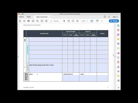
The Riparian Management Course Workbook provides a framework for developing a riparian management plan. Course participants are asked to complete sections of this framework during and between sessions, such that by the end of the course everyone has created a draft riparian management plan. For this reason, all course participants are asked to download the workbook and save it to their computer, where they can fill in its sections and save the changes.
Session 1
Session 1 Description
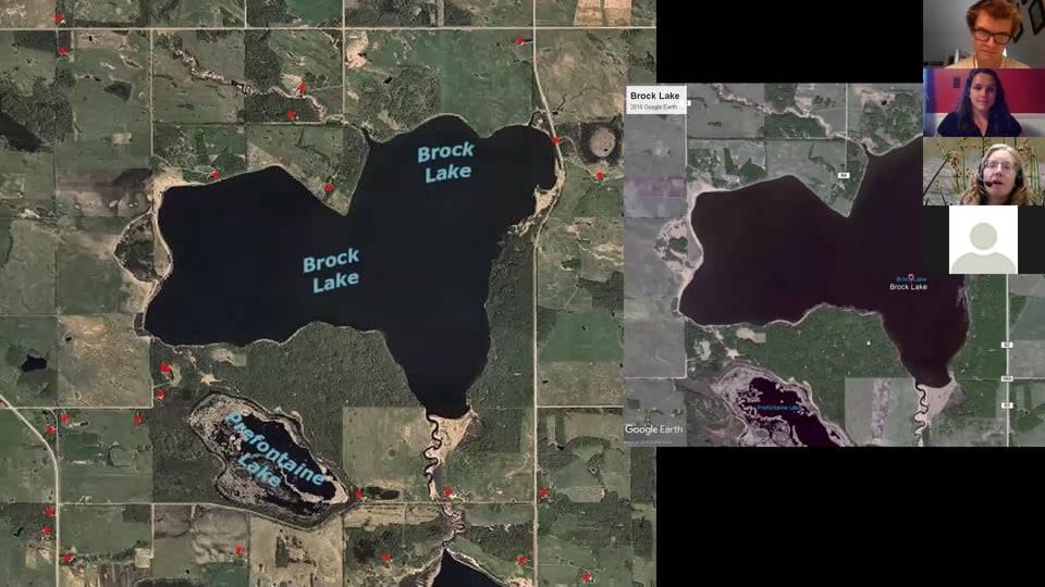
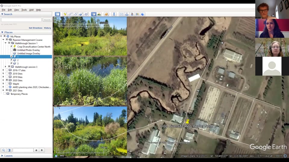
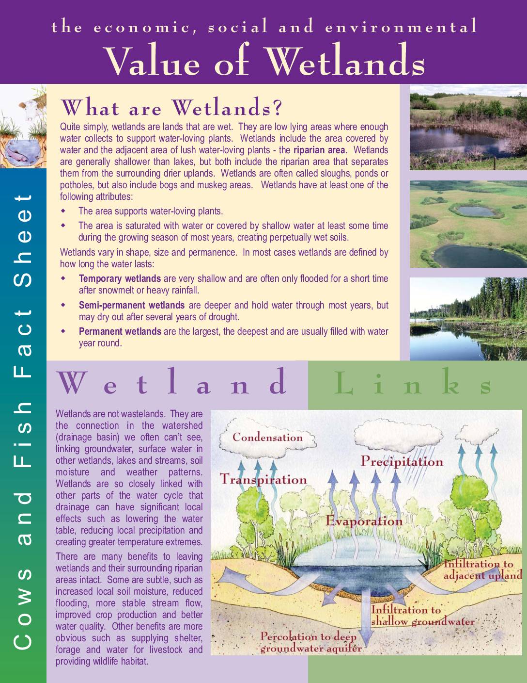
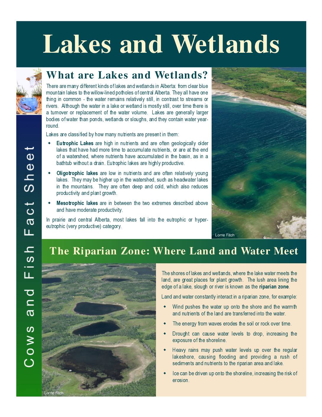
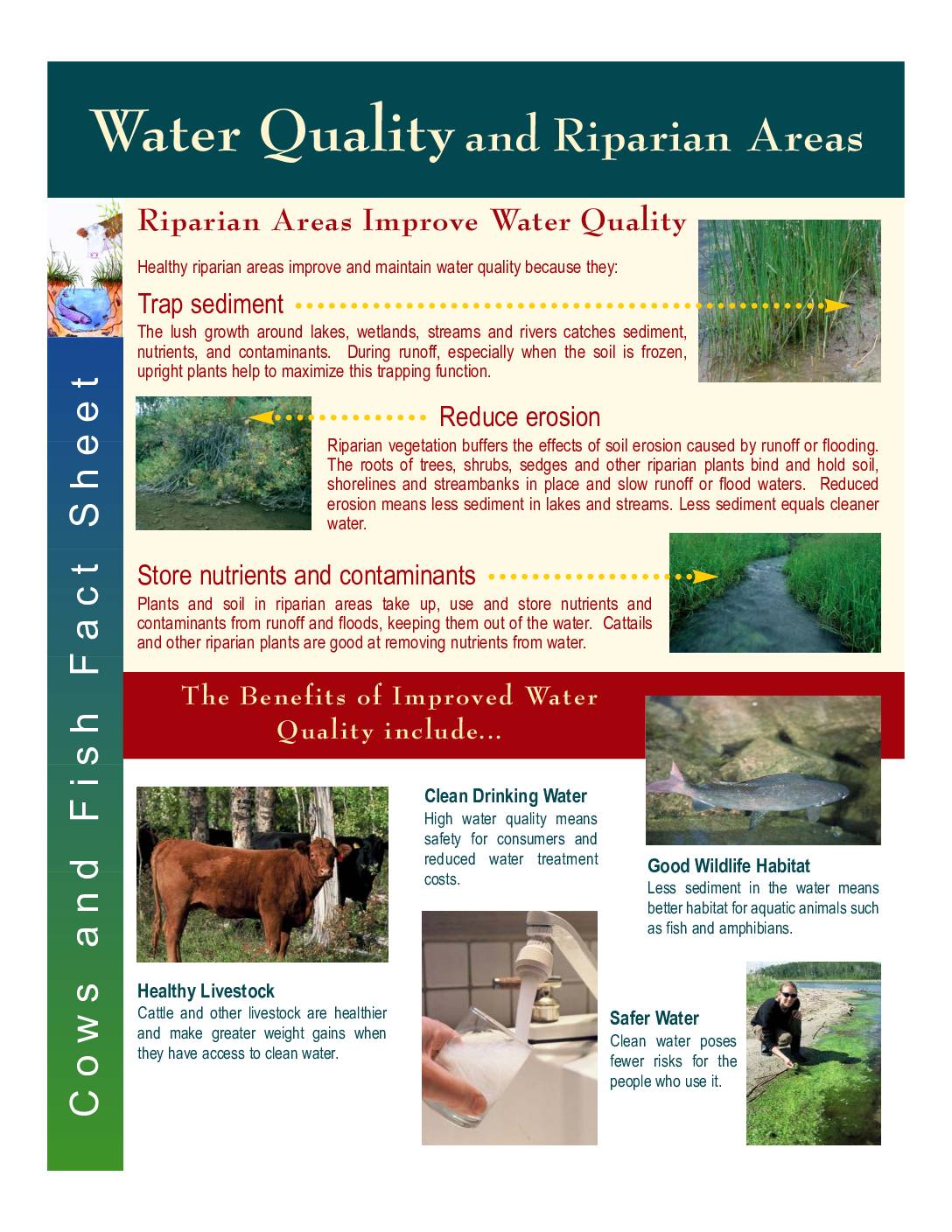
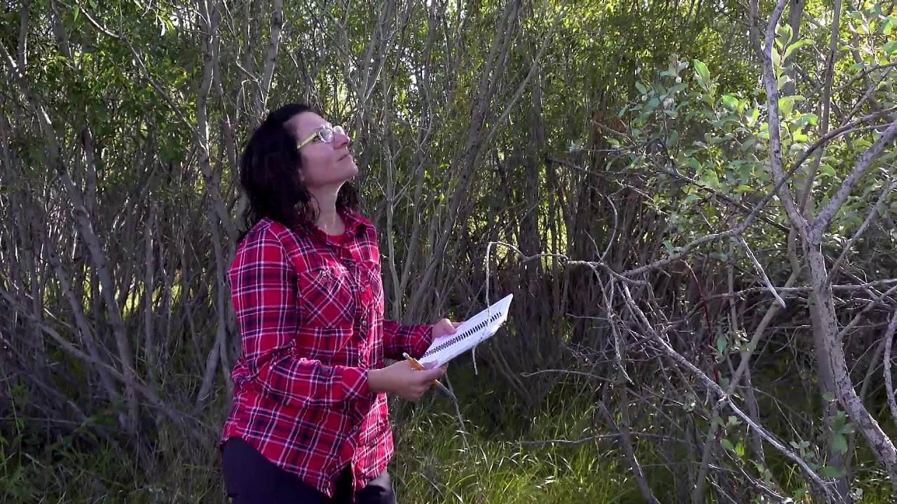
Session 1 is an introduction to the Riparian Management Course. In it, you will learn what defines a riparian area, how the ‘health’ of a riparian area is measured, why healthy riparian areas are important. You will also learn how to define the boundaries of your riparian area of interest using the geographic information system (GIS) software Google Earth Pro.
To complete this session:
- Watch all four presentations
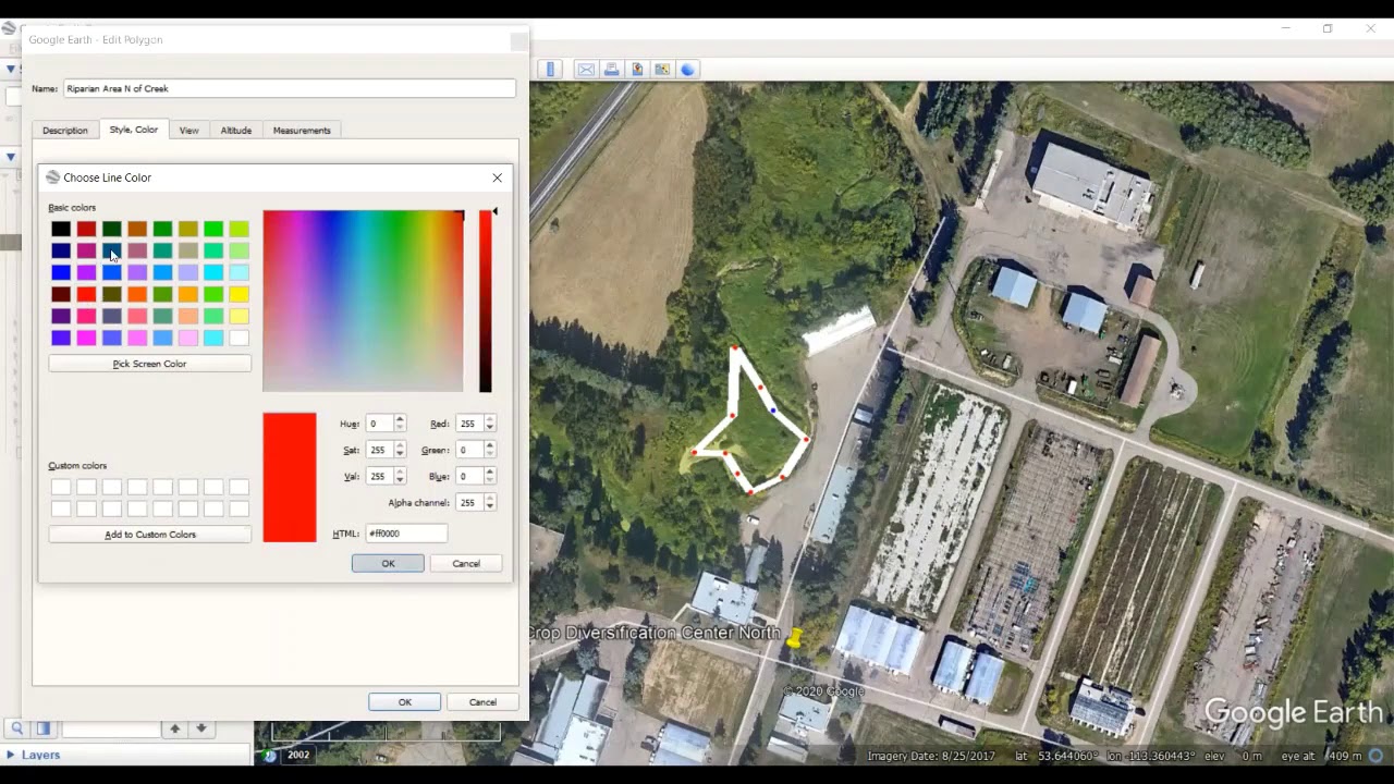
- Map out the boundaries of your riparian area of interest using the GIS software Google Earth Pro, based on the instructions provided in the Google Earth Pro demo presentation.
- Fill out a descriptive title for your area of interest on page 5 of the Workbook
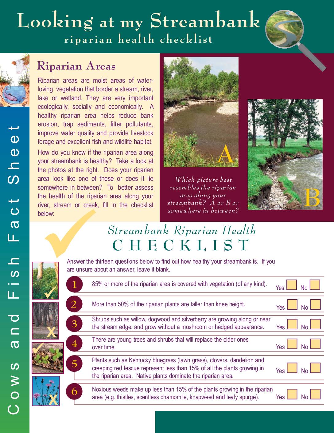
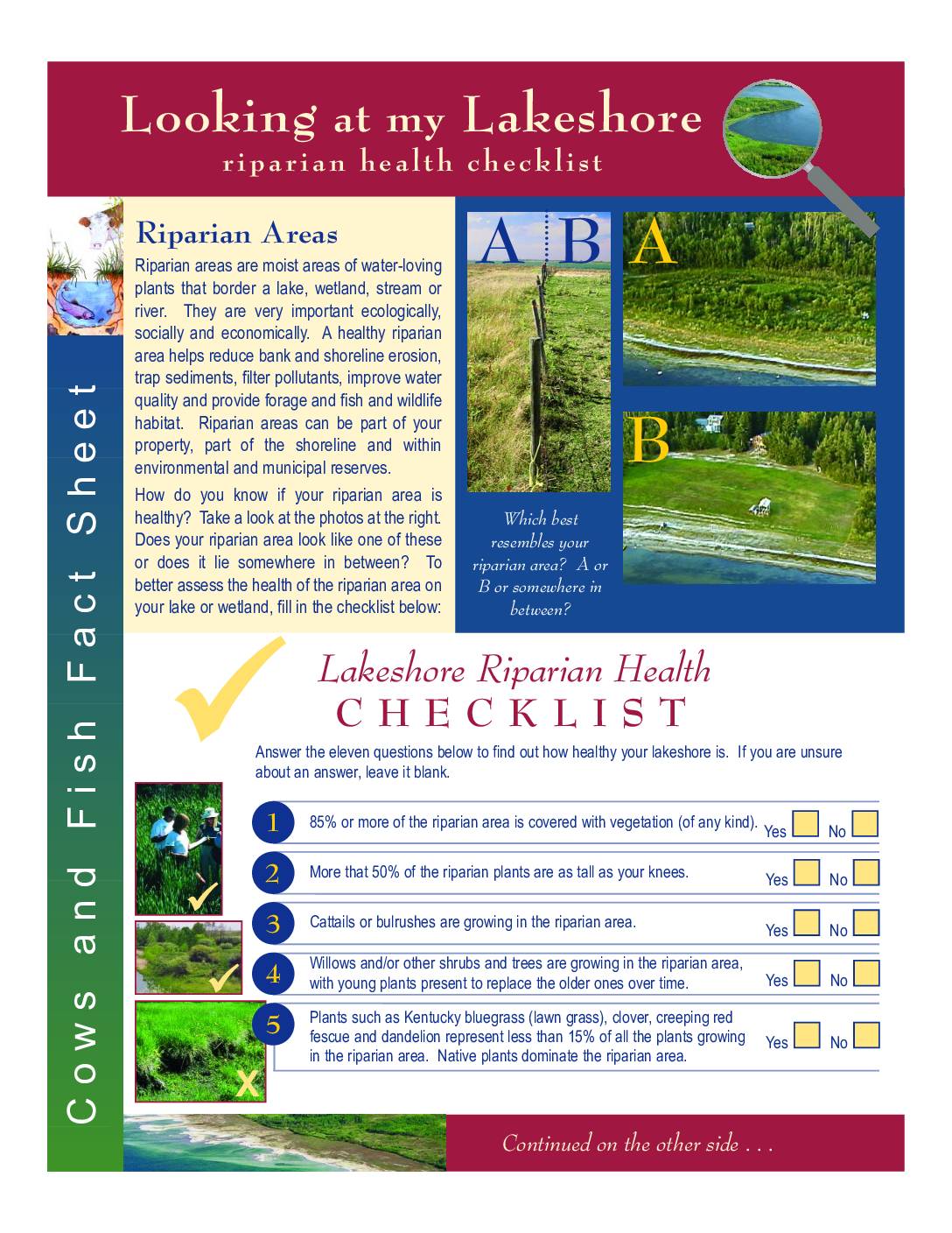
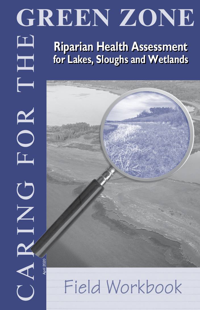
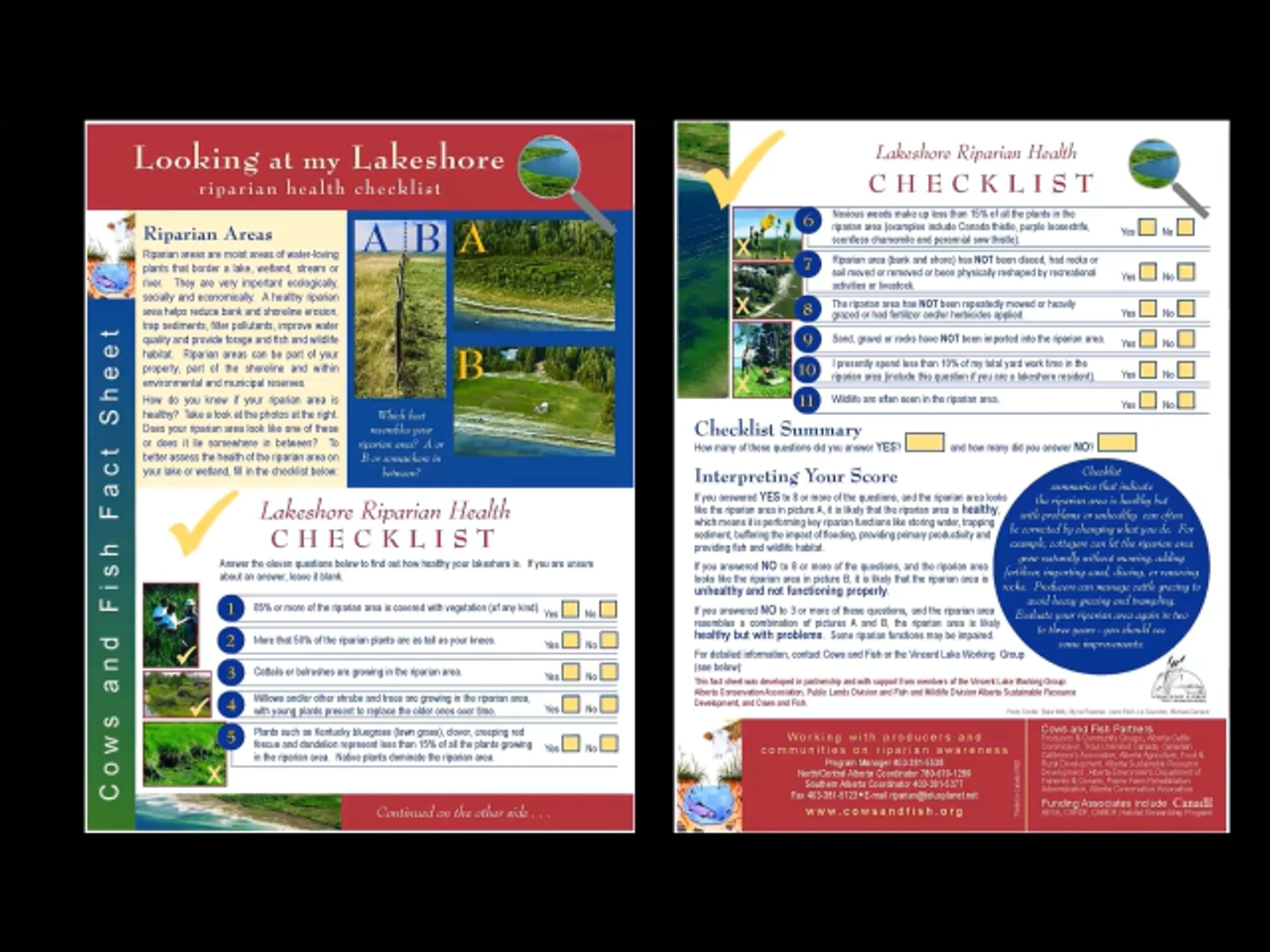
- Optional: Get started on your Riparian Health Assessment using the Looking at my Lakeshore or Looking at my Streambank checklist provided below. Note that more information on Riparian Health Assessment will be provided in Session 2. In addition, we encourage you to check out the supplementary resources provided below.
Presentations


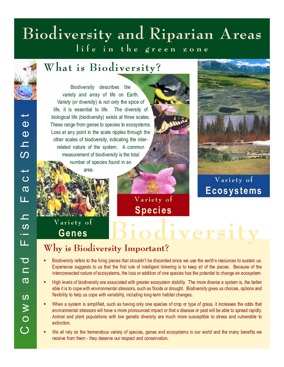
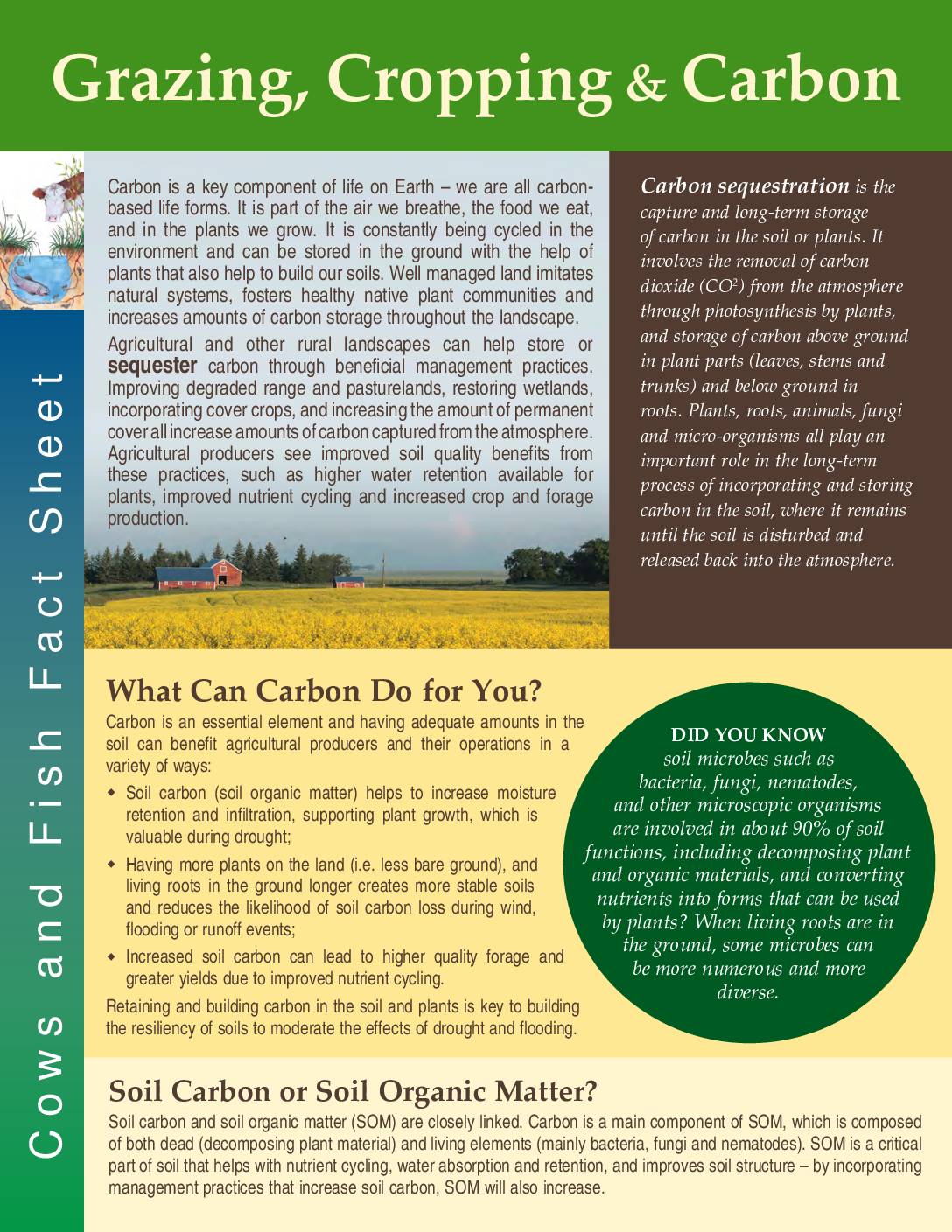
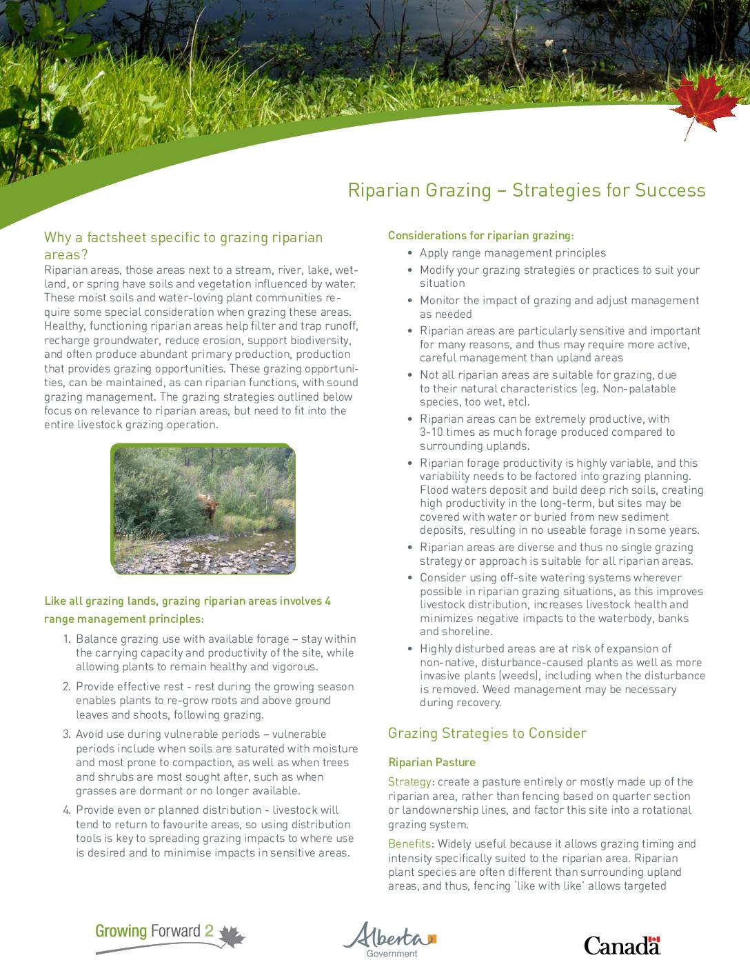
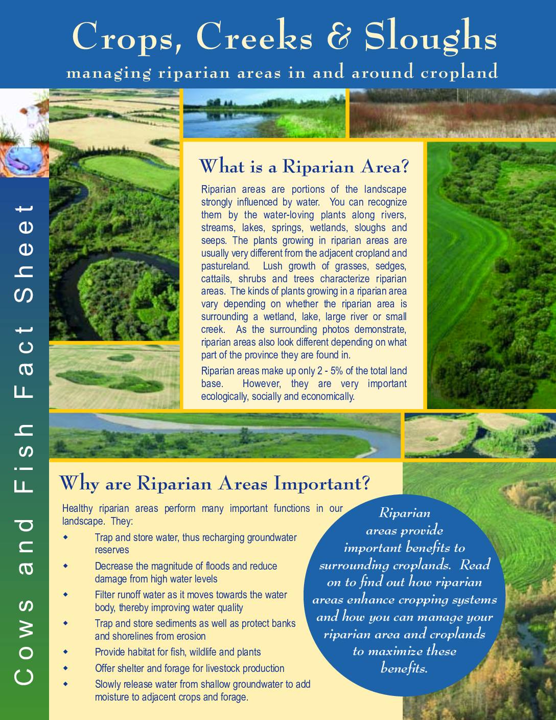
Factsheets


Session 2
Session 2 Description
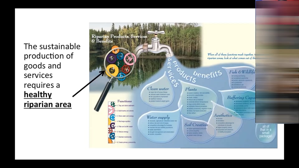
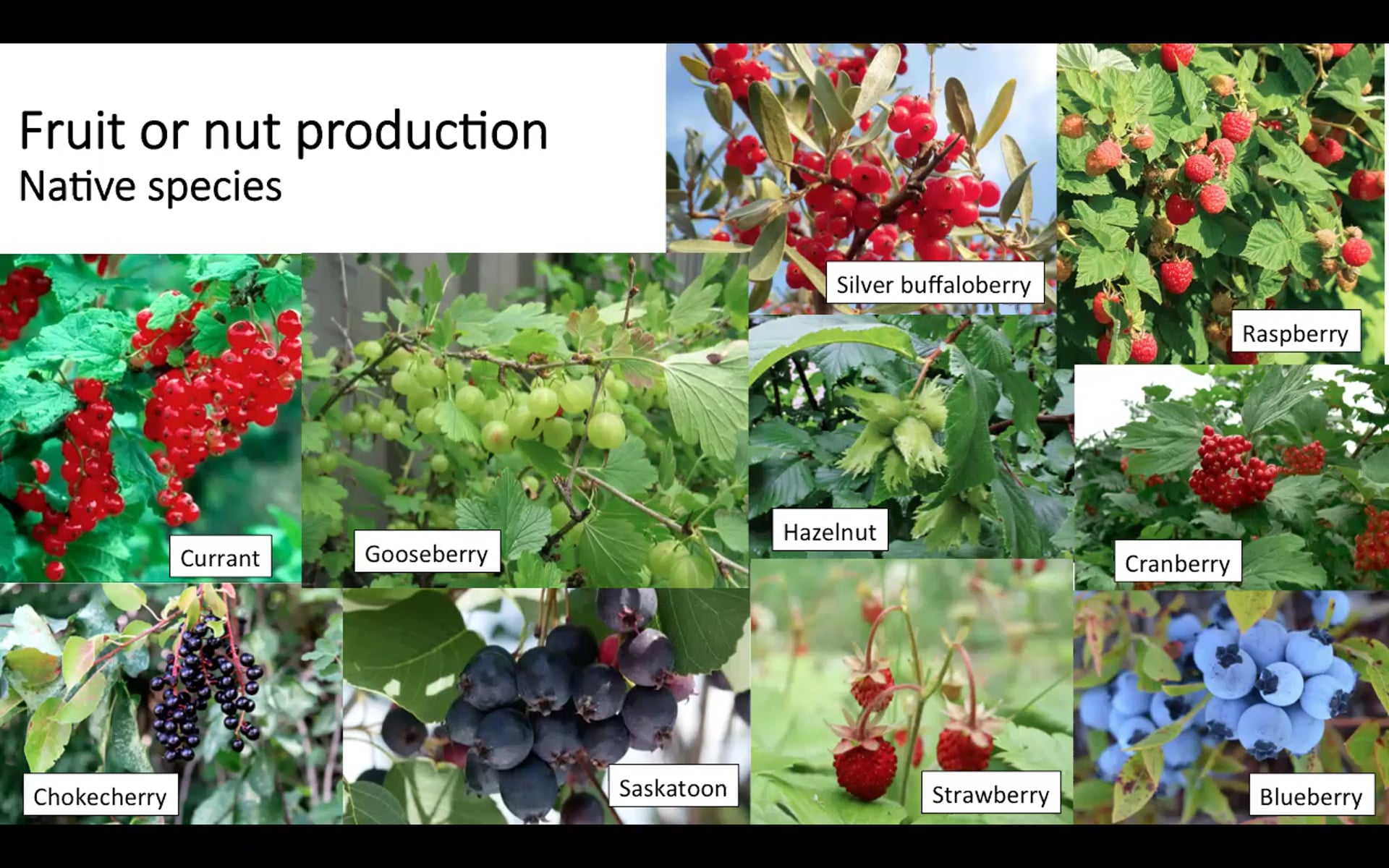
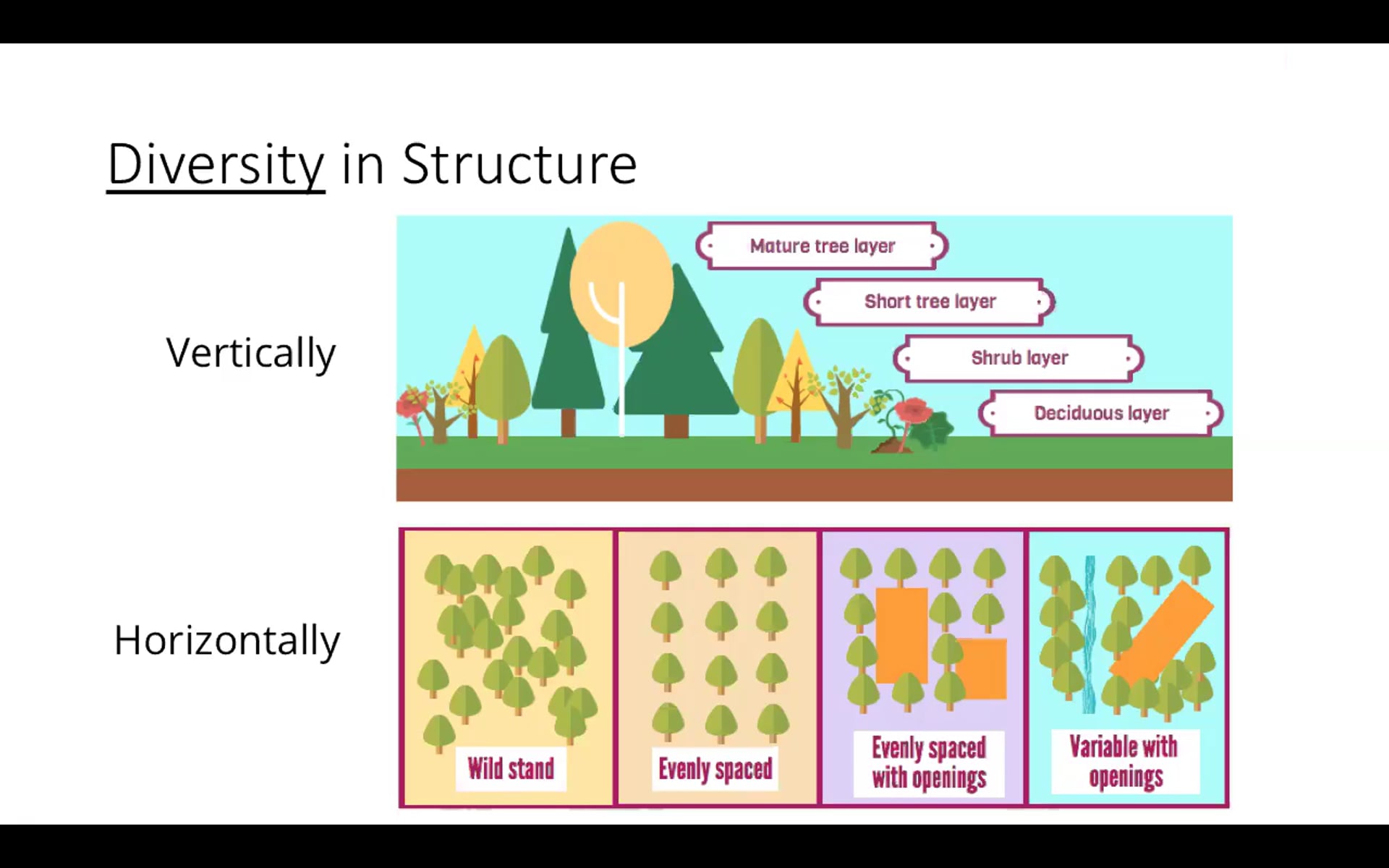
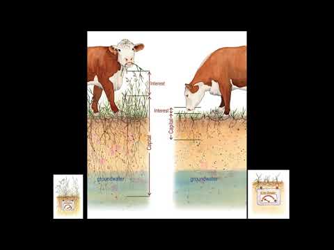
In Session 2, you will learn about some of the many social, economic, and ecological ‘goods and services’ riparian areas can provide, along with some basic design principles that can support these goods and services. Based on this knowledge, you will create a vision for your riparian area, writing or drawing out what you would like it to be and do in the future. Finally, you will be asked to complete a health assessment of your riparian area using tools provided, and based on its results describe where you are at now in relation to your vision.
To complete this session:
- Watch the “Goods and Services of Riparian Areas”, “Vision Homework” and all relevant design presentations
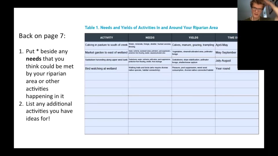
- Complete the following Workbook sections: Fill out your visioning date (page 5) needs and yields table (page 7), and finally, vision for your riparian area (page 6)
- Watch the “Analyzing Your Situation” presentation and “Riparian Health Assessment” video
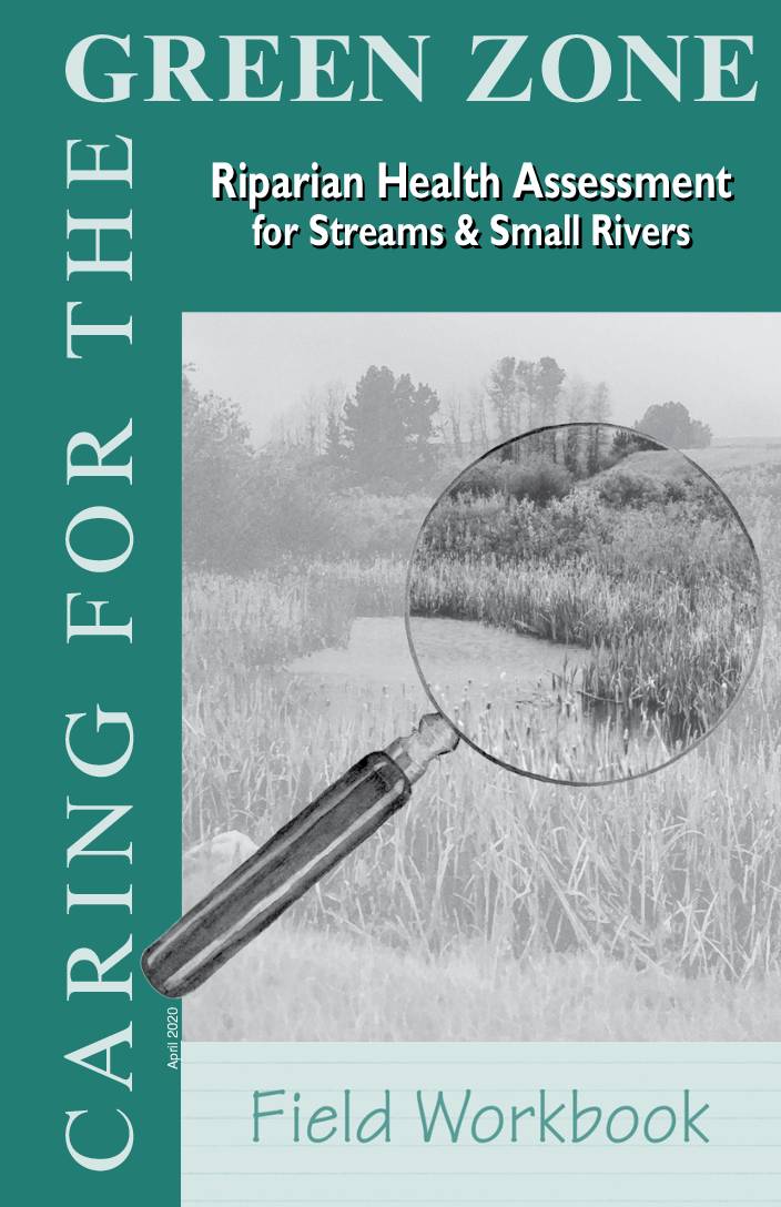
- Complete a Health Assessment of your riparian area using one of the Riparian Health Assessment Field Workbooks or the Looking at My Lakeshore/Streambank Checklist provided below.
- Complete the “Analyzing Current Situation” section of the Workbook (pages 10)
- Optional: Review the supplementary documents provided below. If you are unsure where to start, contact AWES or Cows and Fish to be directed to content relevant to your interests.
Presentations and Videos


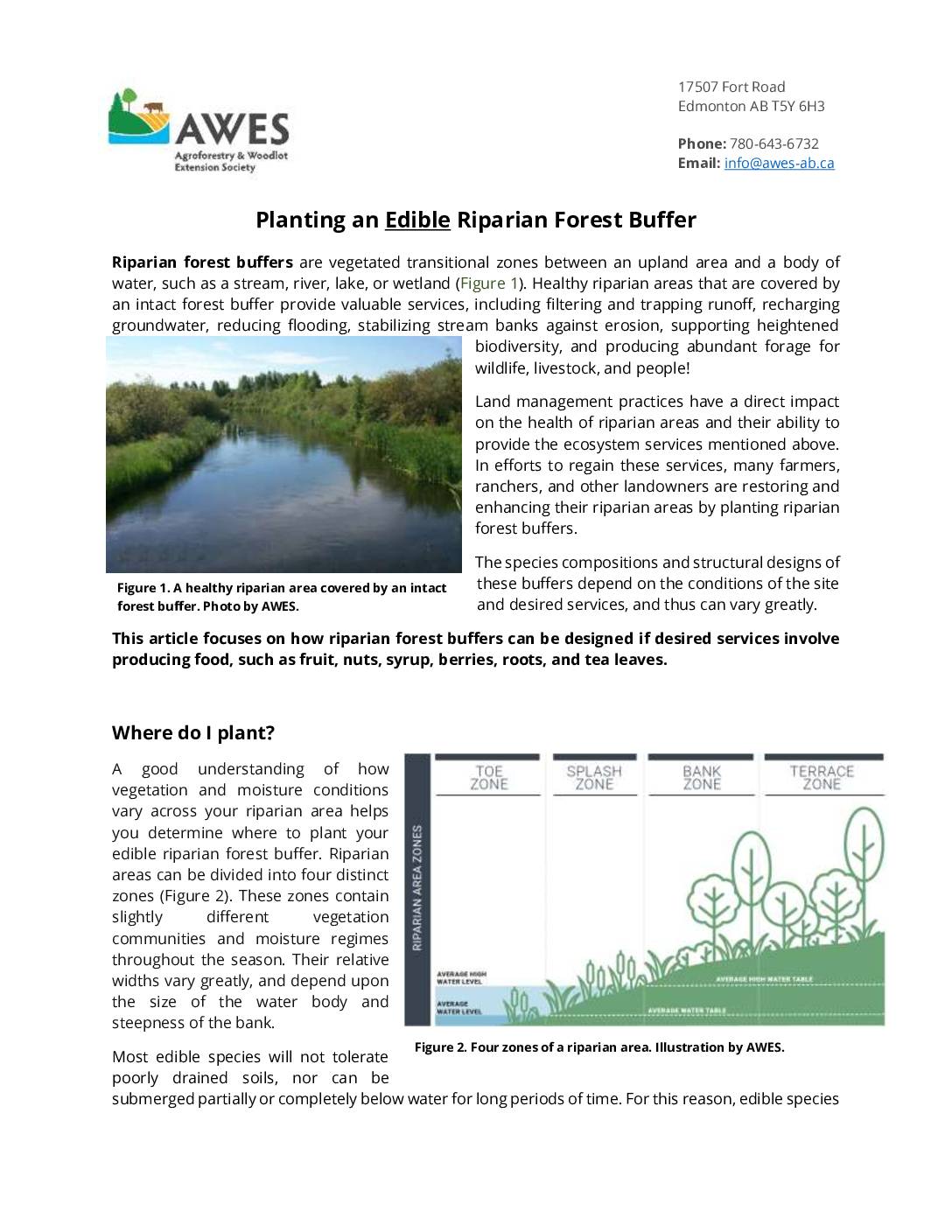
Factsheets
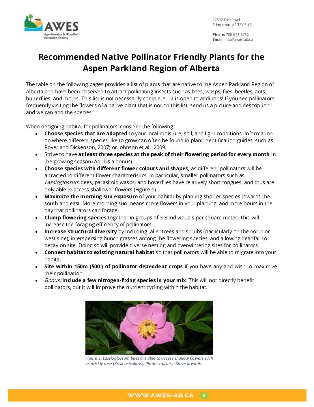
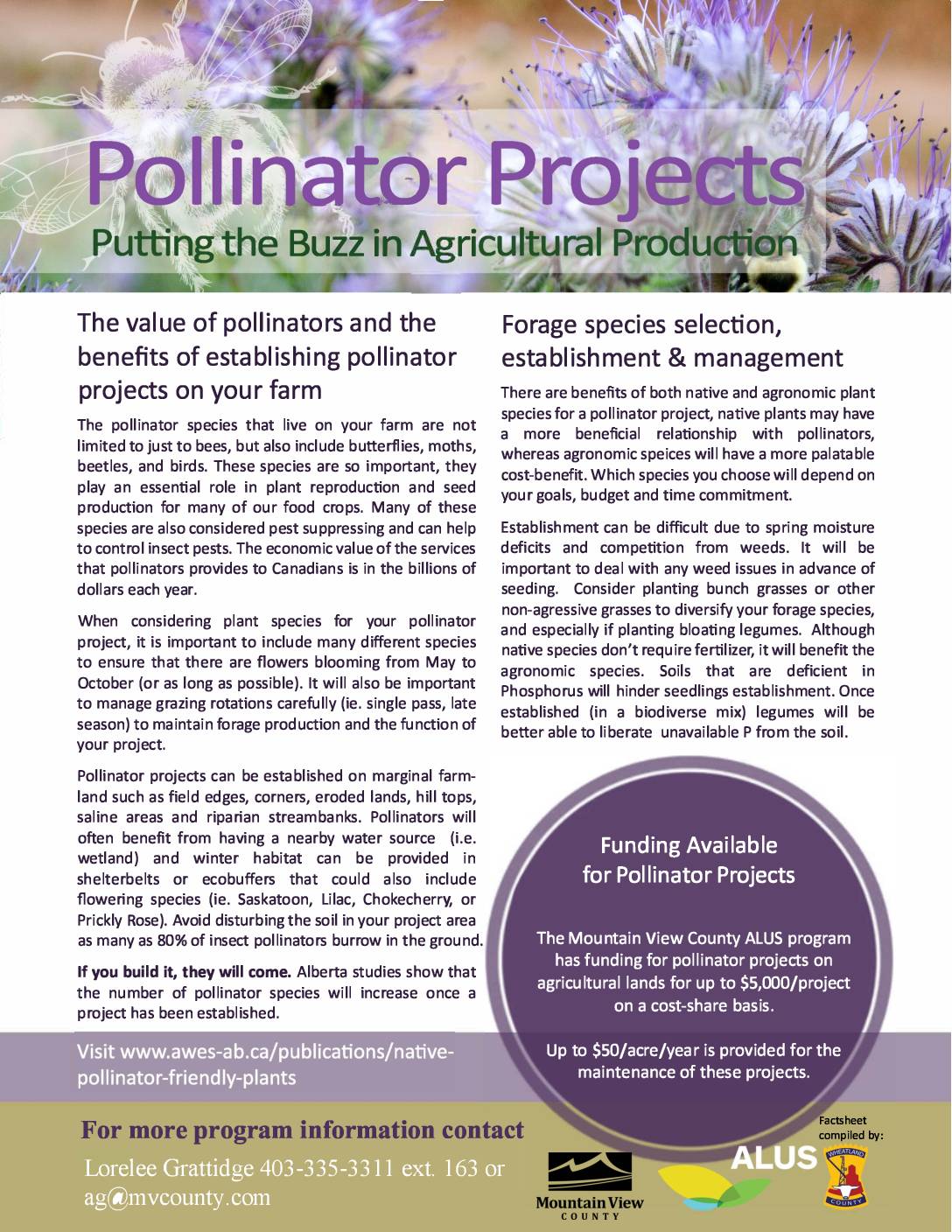
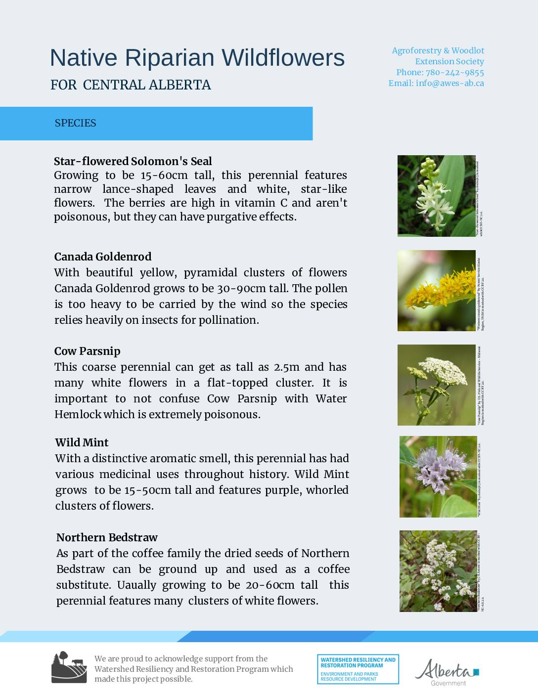
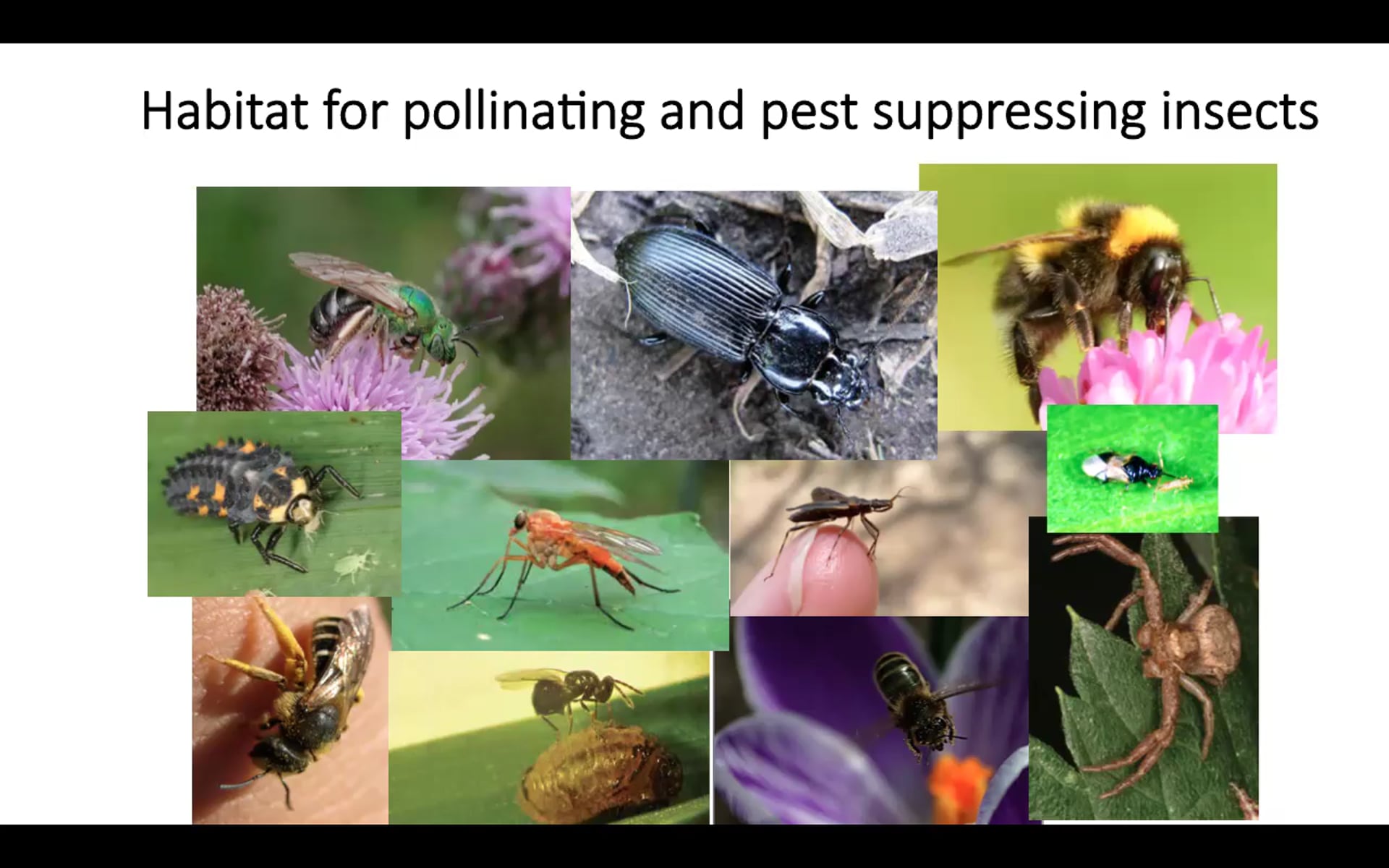
Recommended Native Pollinator Friendly Plants for the Aspen Parkland Region of Alberta

Recommended Native Pollinator Friendly Plants for the Boreal Forest Region of Alberta
Session 3
Session 3 Description
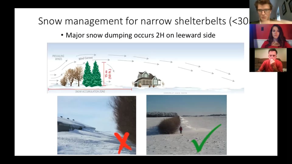
In Session 3, you will learn about relevant anthropogenic activities and practices that can take place within riparian areas, along with their potential positive or negative impacts. Presenters will provide information on various strategies for conducting these activities in ways that maximizes long-term riparian health and the provision of goods and services.
To complete this session:
- Watch the “Riparian Management: Principles and Practices to Ponder” and “Brainstorming Management Strategies” presentations
- Review Policies and Regulations for Wetland and Riparian Area Management in Alberta and Canada
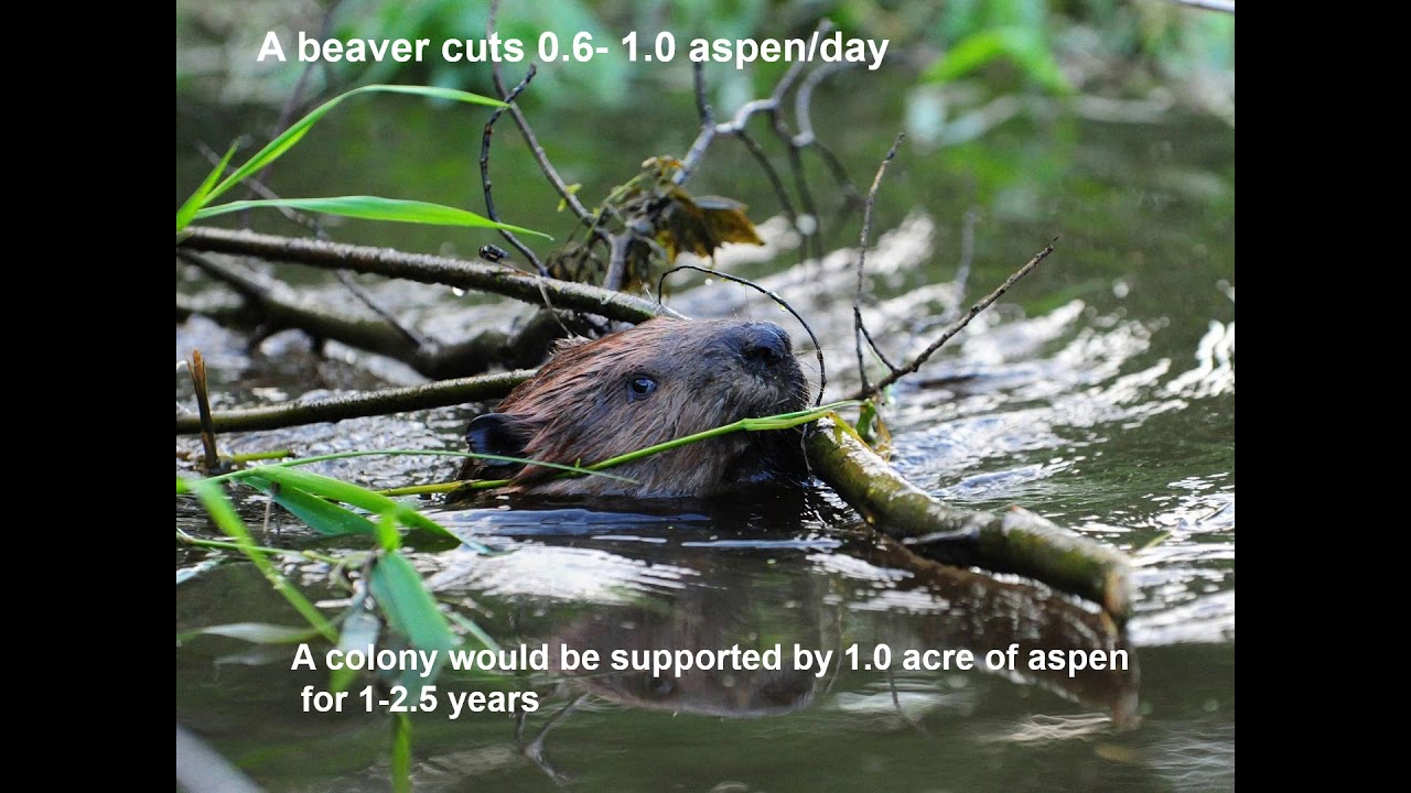
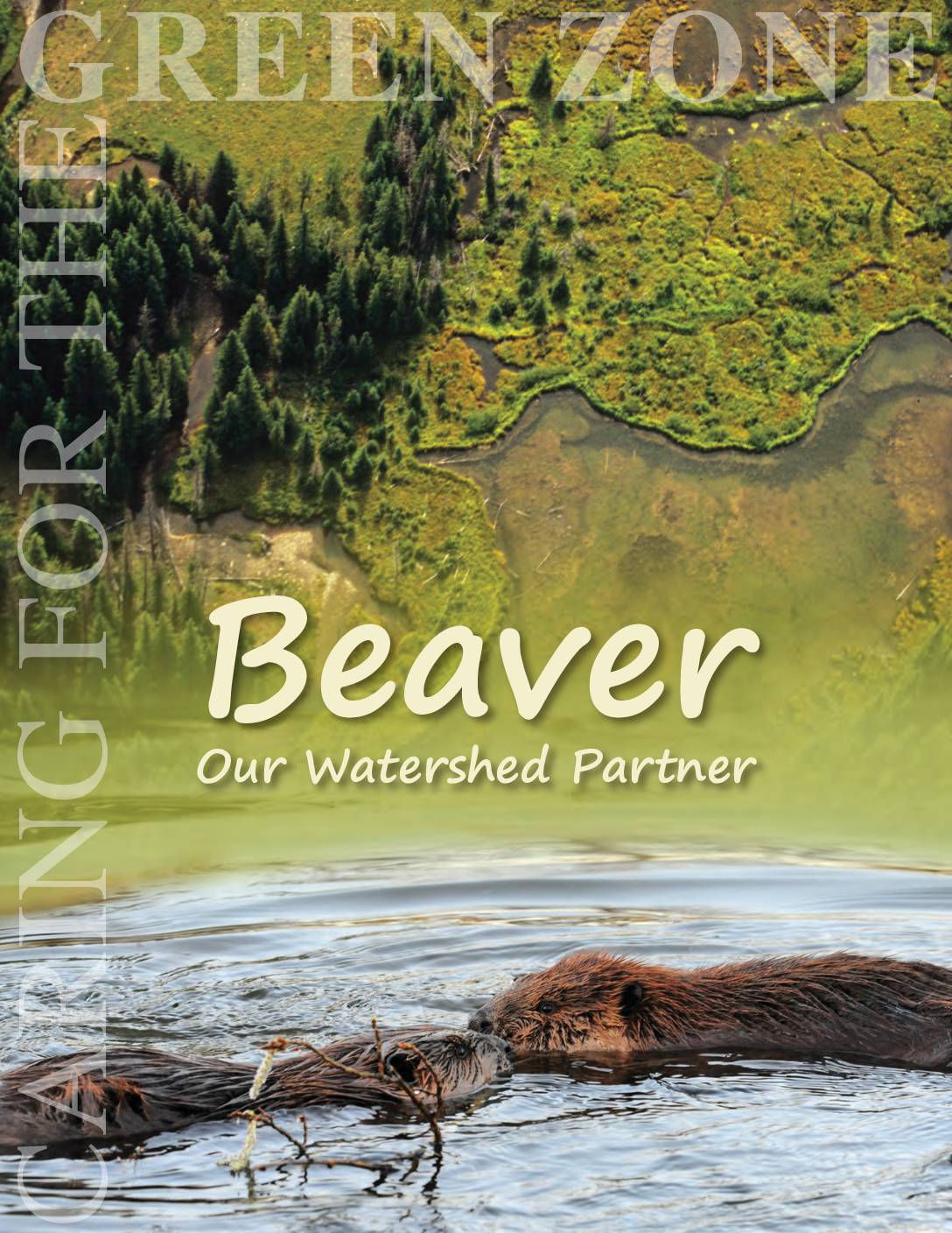
- Optional: Watch “Beaver Coexistence” and “Beavers in your Landscape” videos, and visit “Putting Beavers to Work for Watershed Resiliency and Restoration” for more case studies and strategies for beaver management
- Optional: Review the supplementary documents provided below. If you are unsure where to start, contact AWES or Cows and Fish to be directed to content relevant to your interests.
Note: In preparation for Session 4, please watch the “Tree Planting on Farms” video series, linked in the following session.
Presentations and Videos


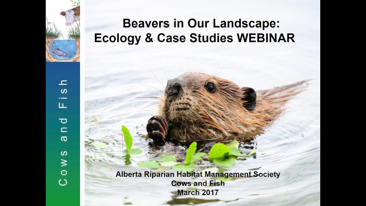
Putting Beavers to Work for Watershed Resiliency and Restoration
Policies and Regulations for Wetland and Riparian Area Management in Alberta
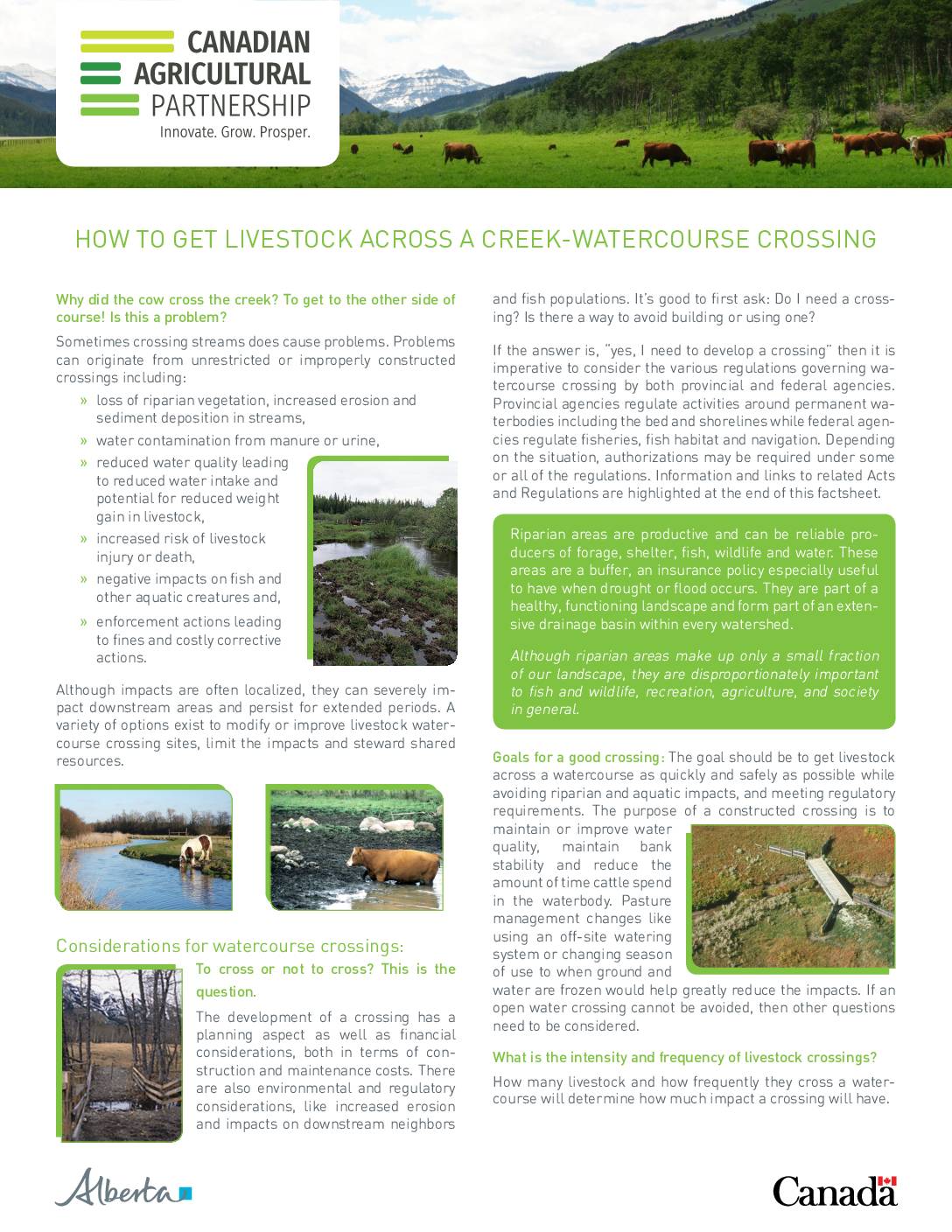
Alberta Recommendations for Livestock Water Crossings
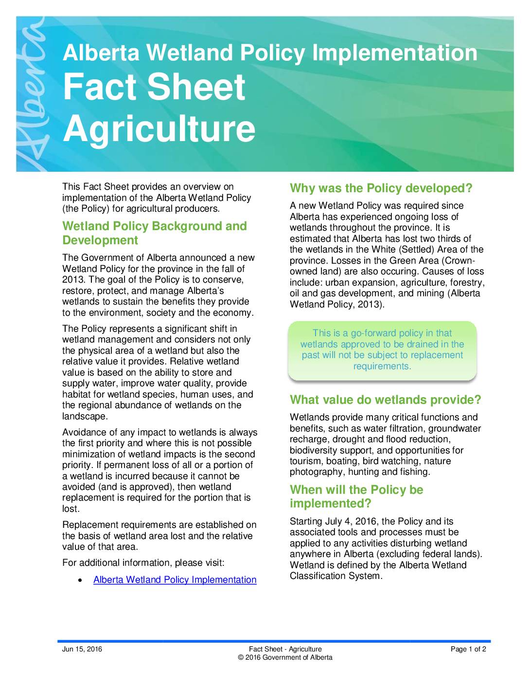
Alberta Wetland Policy Implementation
Federal Regulations and Codes of Practices for Activities Near Water
Federal Regulations and Codes of Practices for Beaver Dam Removal
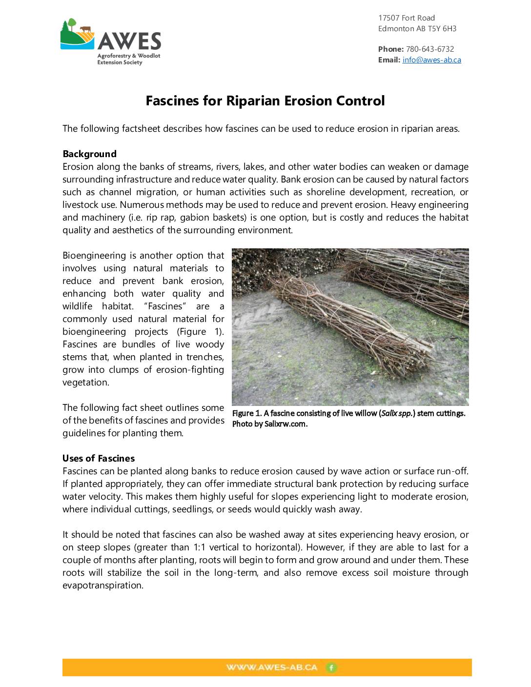
Factsheets
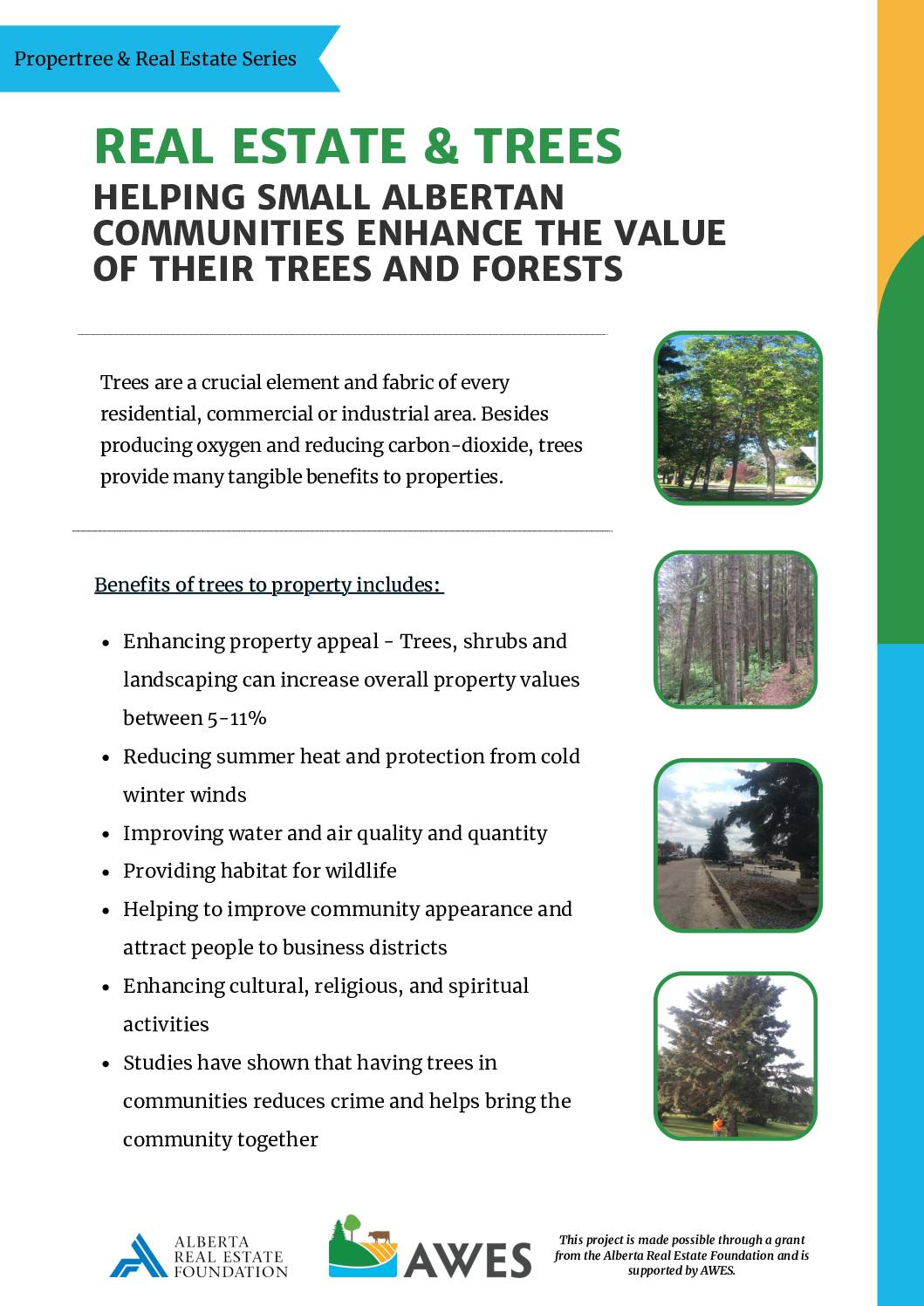
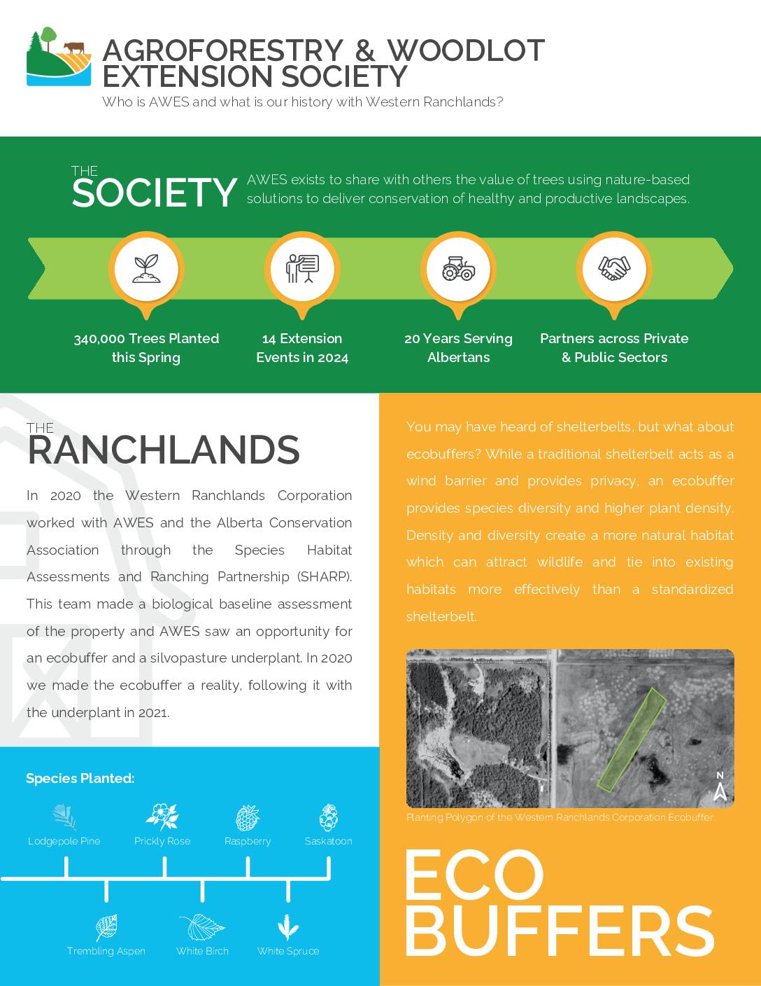
Real Estate & Trees: Helping Small Albertan Communities Enhance the Value of their Trees and Forests
Factsheets
Real Estate & Trees: Helping Small Albertan Communities Enhance the Value of their Trees and Forests
Session 4
Session 4 Description
In Session 4, you will learn about how to implement riparian restoration strategies such as tree planting. You will then be guided through the process of developing a map for one of these strategies (e.g. showing planting, fencing, trails, or other features) using Google Earth Pro. Finally, you will be asked to continue brainstorming potential strategies and then synthesize your brainstorming into a draft plan, to be presented in the final session.
To complete this session:
- If you have not done so already, watch the “Tree Planting on Farms” video series.
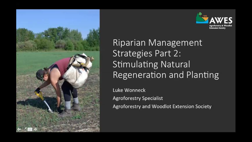
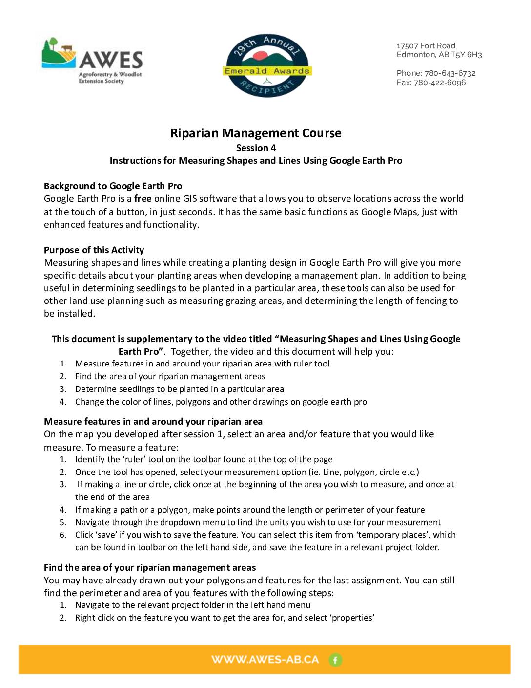
- Watch the “Stimulating Natural Regeneration and Planting”, “Measuring Shapes and Lines Using Google Earth Pro” and “Outline for Riparian Management Course Final Presentation” presentations
- Use Google Earth Pro to complete a map of one of your management or restoration strategies based on the information provided in the second presentation
- Based on what you learned from the presentations of Session 3 and 4, brainstorm potential strategies for achieving your vision, and fill out their action items, indicators, costs, labour requirements, and timeline using the tables on pages 12 to 16 on the Workbook (complete as many tables as you have different strategies for).
- Choose which strategies are the most effective in helping you to achieve your envisioned riparian area, and prioritize these strategies on the table of page 17 of the Workbook.
- Optional: Review the supplementary documents provided below. If you are unsure where to start, contact AWES or Cows and Fish to be directed to content relevant to your interests.
Note: In preparation for Session 5, please create a 10 minute presentation about your management plan. Include details on your envisioned riparian area, the current state of your riparian area, and strategies you have prioritized to achieve your vision.
Presentations and Videos


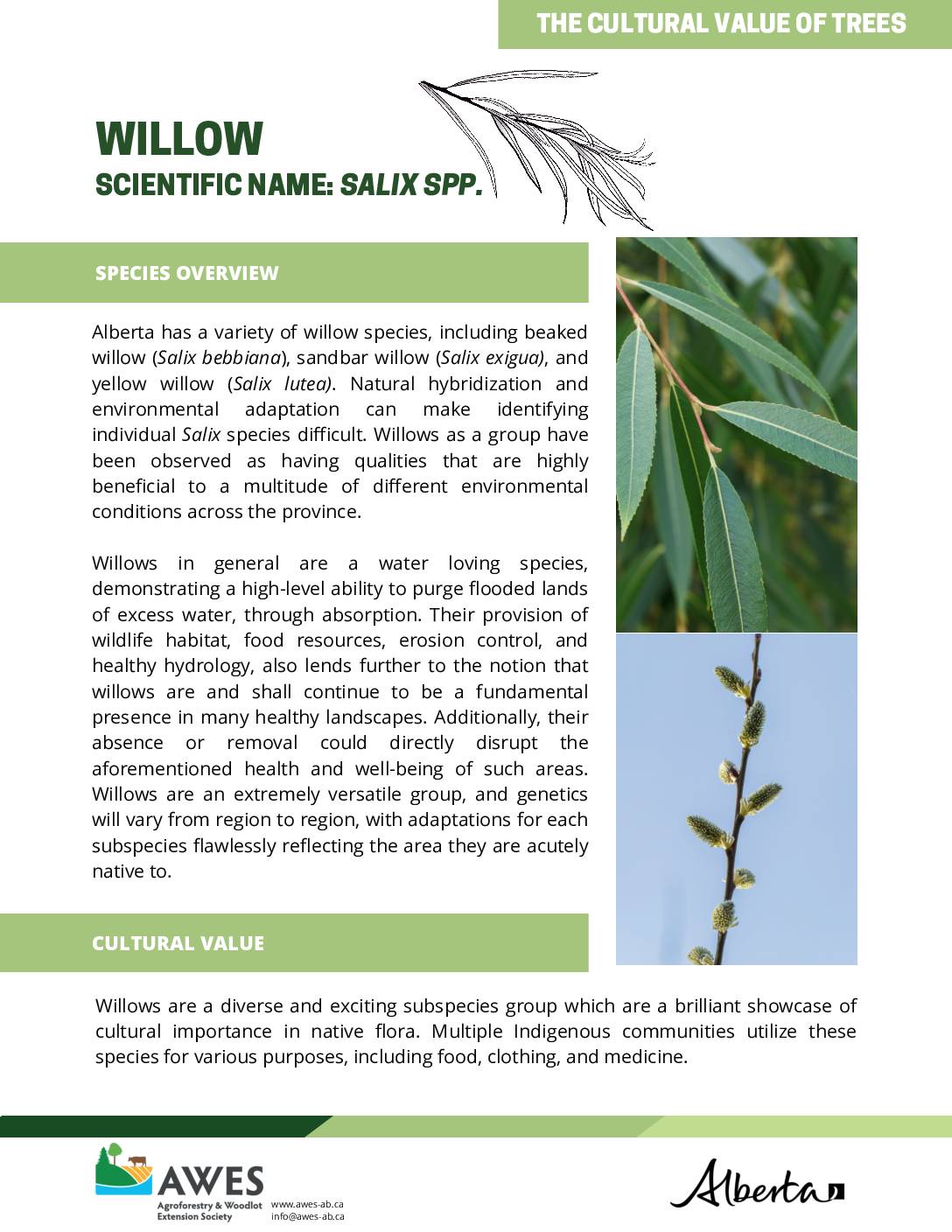
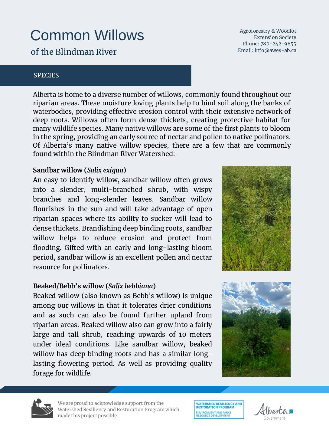
Federal Recommendations for Riparian Tree Planting on Farms
Agriculture and Agri-Food Canada Recommendatons for Planting Around Dugouts
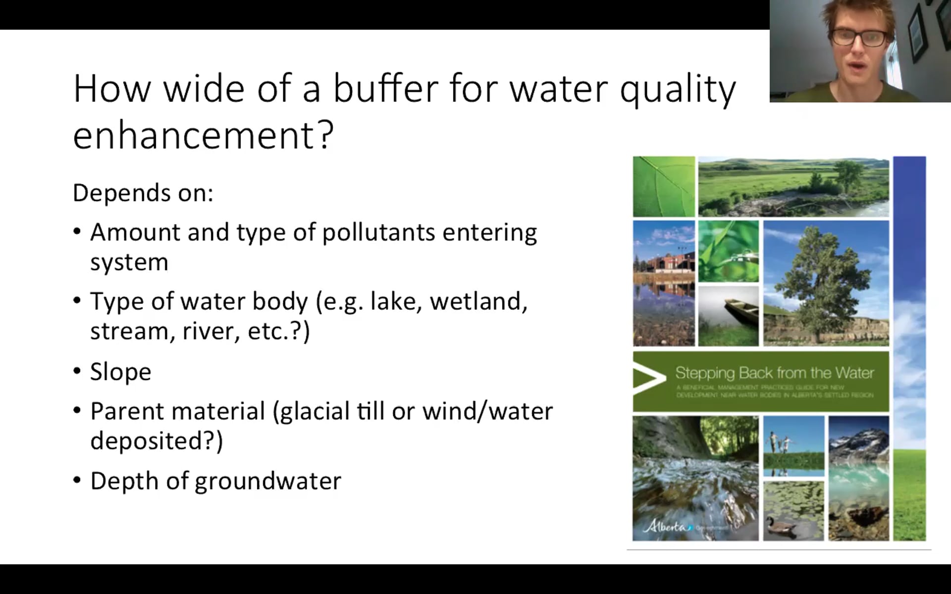
Agriculture and Agri-Food Canada Recommendations for Planting Riparian Buffers
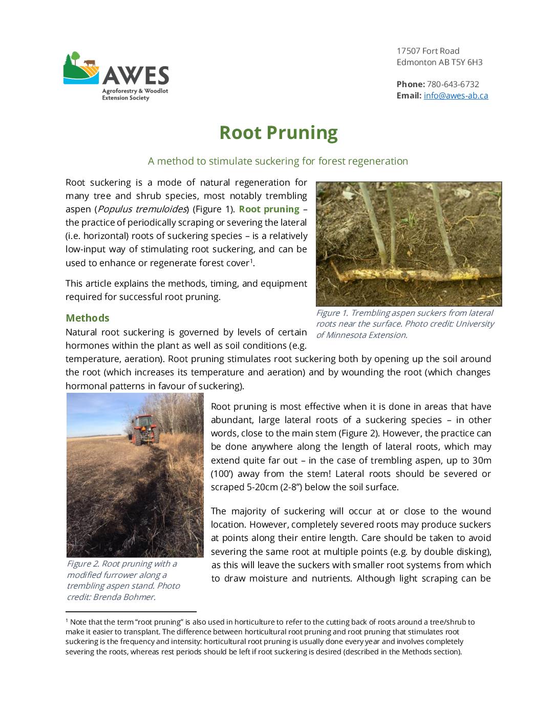
Factsheets
Factsheets
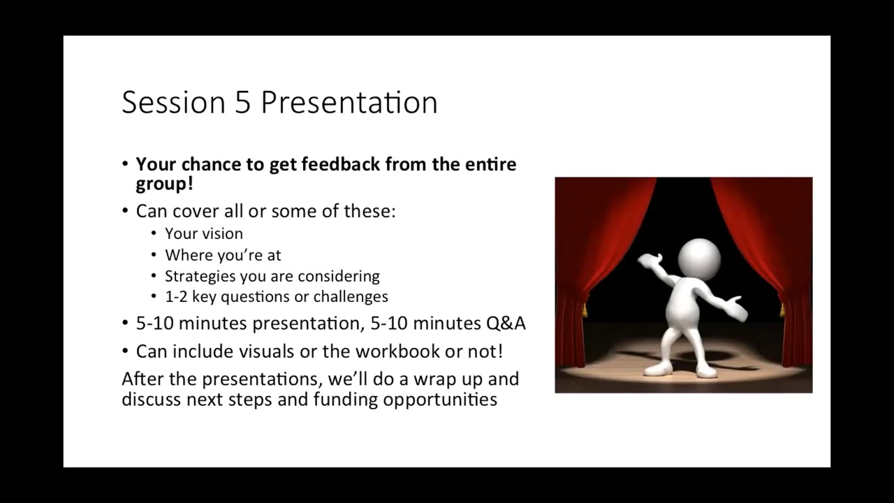
Session 5
Session 5 Description
In this final session, you will have the opportunity to share and get feedback on the riparian management plan you have developed over the duration of the course. The live version of this session is divided into 15 minute increments, with each participating individual or group getting 10 minutes to present and 5 minutes for Q&A. If you are taking this course at your own pace, then at this stage you are welcome to contact the Agroforestry and Woodlot Extension Society or Cows and Fish directly to share and get feedback on your plan.
To complete this session:
- Provide a 10 minute presentation of your riparian management plan, including details on your envisioned riparian area, the current state of your riparian area, and strategies you have prioritized to achieve your vision.
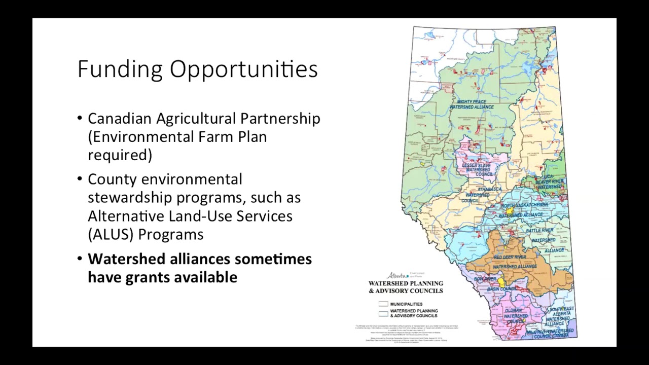
- Watch the Concluding presentation, which includes details on next steps, and options for additional technical and funding support with implementing your plan
Presentations and Videos